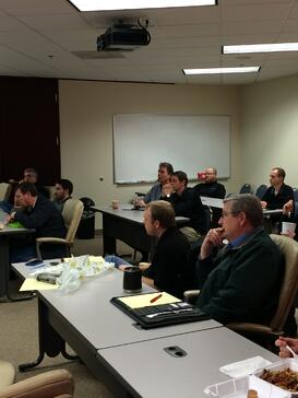
 On Tuesday, January 20th, Jennifer Helms kicked off our 2015 Lunch and Learn series with a presentation on GIS titled Map Sharing and Story Maps. Jennifer knows her stuff – she holds Associate of Applied Science degrees in Drafting Technology and GIS Technology, and she also taught GIS courses at Treasure Valley Community College in eastern Oregon.
GIS technology is growing not only in its power, but also in its application. Jennifer used the lunch hour to provide practical examples of how we at MacKay Sposito can use GIS in our jobs.
The presentation included a variety of topics such as:- GIS shape file integration with Google Maps
- Exporting KMZ and KML files
- ArcGIS tools to support project management (such as geocoding, drive time analysis, and route analysis)
- Using GIS (ESRI) maps in Microsoft Office
- Useful GIS apps
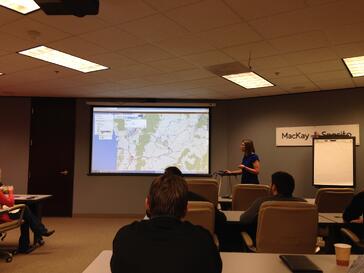
The topic that stood out the most to me, however, was the introduction to story maps. The concept is
exactly as it sounds: using a series of maps to tell a visual story. Jennifer took us through a story map she prepared for a presentation to BPA. The story map briefly chronicled the history of our relationship with BPA and included a number of interactive maps populated with “live” shape file information, such as pole locations and the extents of BPA’s right of way.
You can check out the story map for yourself by going to www.arcgis.com and entering “msi, bpa” in the Search bar. It’s worth a few minutes of your time, and it’s bound to inspire ideas for how you can use this technology in your job.